What the Dolomites taught me about reading terrain
Three days above the treeline and a map that kept lying to us.
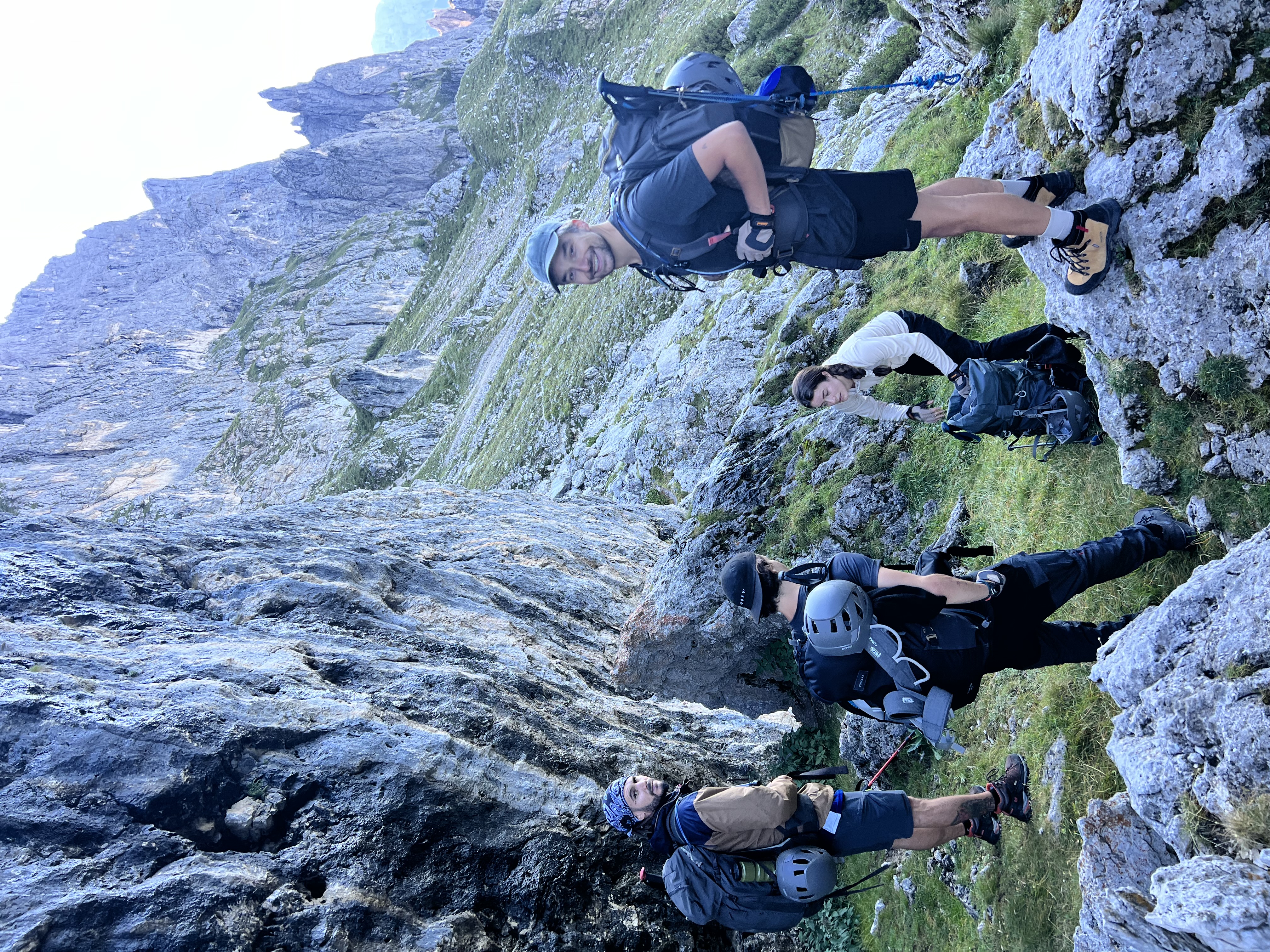
We set off from Cortina d'Ampezzo with eight people, two guides, and the kind of confidence that comes from never having been genuinely lost. By day two we had misread the contour lines twice, taken a shortcut that added four kilometres, and learned to stop trusting the path that looked obvious from above.
Reading contour lines versus reading the land
Topographic maps tell you the shape of the land in theory. What they do not tell you is which theory is correct at ground level.
The terrain does not care what your map says. It just is what it is.
Contour lines bunched tightly together mean steep ground. But steep means something different when you are crossing it with a full pack after twelve kilometres than when you are reading it over breakfast.
What we actually learned
By day three we had stopped arguing about the map and started reading the land directly — following the natural drainage lines, moving toward the ridgelines we could see, trusting the way water had shaped the ground over centuries.
Tip: When in doubt, find the water. Streams always flow downhill toward habitation. In European mountains, follow a stream long enough and you will find a trail, a road, or a village.
The Dolomites are forgiving enough to make mistakes in. Other landscapes are not. That is the real lesson — learn to read terrain here, while the margins for error are still generous.
Join the community
Be the first to know about upcoming dips, trips, and adventures.